1st May 2021
Beinn Ghlas and Ben Lawers: The Gaelic name Beinn Ghlas means 'grey-green mountain', referring to the colour of the mica-schist that makes up the bulk of the mountain and falls as a scree on its south-western side. Ben Lawers or Beinn Labhair means hill of the loud stream.
I can barely believe it, but we finally got back up some Munros! Hurrah!
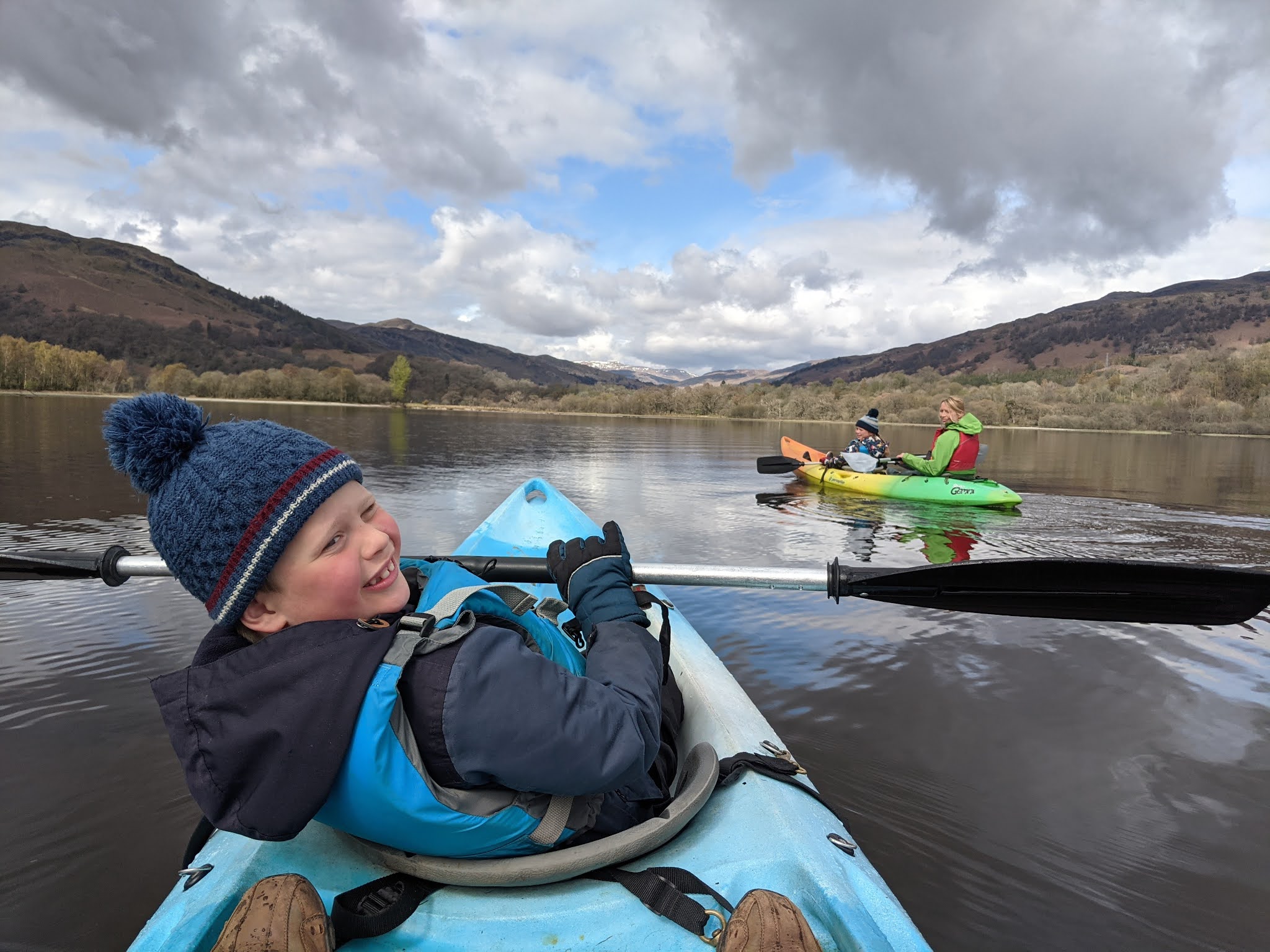
After the lockdown craziness had been lifted we decided to head off as soon as possible out of Edinburgh to tackle the kids first Munro. We had a fantastic few days staying at Auchmore Appartments in the Tarmachan Apartment - which was a really lovely place.
Ben Lawers is the highest mountain in the southern part of the Scottish Highlands. It lies to the north of Loch Tay, and is the highest point of a long ridge. As the highest peak in Perthshire, and is the tenth highest Munro in Scotland. Since the 1950s, water has been captured from the numerous burns on the south face of Ben Lawers and Meall nan Tarmachan as part of the Breadalbane Hydro-Electric Scheme and you can see a huge pipe leading up the side of the mounitain.
Due to its high altitude and underlying geology Ben Lawers is home to an exceptionally rich selection of arctic-alpine plant species and habitats, and has been designated as a National Nature Reserve (NNR) since 1964.
Starting off at the Ben Lawers car park on the west side of the road. The
area is designated as a National Nature Reserve and is owned by the
National Trust for Scotland. We began the walk by heading through the
walled intepretation area and on the surfaced path to a gate, with views to Beinn
Ghlas ahead. Soon the path passes through a gate into an area fenced to
protect the flora from overgrazing by sheep and deer; the difference in
vegetation on each side of the fence is clear.
Heading off up the clearly marked large path. The high mountain you can see on the right is Beinn Ghlas - it must be
climbed first and only from its summit will you get your first view of
Ben Lawers itself.
Magnificent swathes of ground lichen.
Gaining a little height, but with some ominous clouds hanging low above us.
Everyone strong and enthusiastic on the early part of the walk!
Climbing, climbing.
Just crossing the snowline at this point and all good so far!
Some very lovely views to be had at this point.
Getting a bit higher now - it has been quite a steep ascent up a zig zaging path. There is a shoulder before a final climb to the small plateau at the
summit of Beinn Ghlas - a substantial Munro at 1103m - but many walkers
en route to Ben Lawers are unaware of it. From here the view stretches
along the fine ridge ahead, if we could only see it!
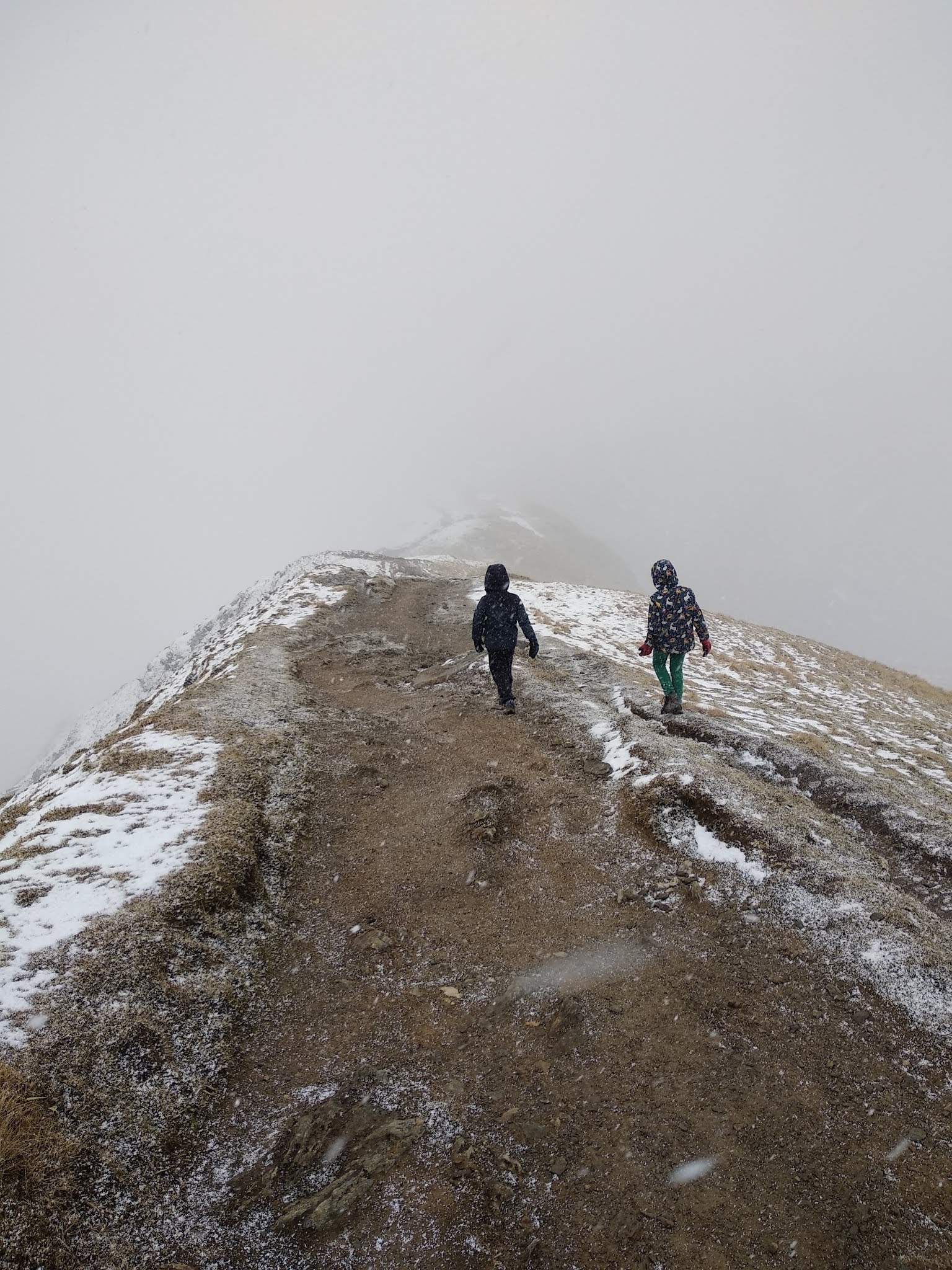
Here the cloud really enveloped us and gave a very eery feeling of following a ridge with no clear view of what lay down each side.
The summit of Beinn Ghlas. It is not well marked so you could easily keep walking and not realise that you had made it up this one!
From Beinn Ghlas the wide path continues along a
ridge, leading down to the bealach (pass) before the ascent to Ben
Lawers itself, with a steep section, a more level stretch, and then one
final steeper pull - there are great views back over Beinn Ghlas - when you can see through the cloud!
At this point the kids were really feeling their legs and Leo certainly needed some persuading that he could get up the second Munro! This was were some 4 yr old
Kendal Mint Cake saved the day (a gift from my sister to take on a Munro adventure - it had languished in a drawer and was just remembered as we headed out the door). Surely something with so much sugar in it, can't really go off. Anyway, it did the trick and gave a much needed boost to some little legs!
And lunchtime - but eek it was so cold. A case of taking gloves off quickly to devour sandwiches, and then quickly cramming them back on, as ice crystals whipped past us in the wind.
Freyja's frosty hair!
Some wonderful views...and some fantastic contrasts in the dark sky and the white snow...!
And then as we began our descent, some patches of blue sky appeared and finally we were able to see the views. They were worth waiting for!
We did it and it felt pretty great - I have missed the Munros.
When the views did appear they were spectacular!
looking back to the path from Beinn Ghlas.
With some other intrepid and slightly chilly walkers.
From here we retraced our steps back to the bealach. From here there is a bypass path which forked right, rounding the north side of Beinn Ghlas to the bealach between it and Meall Corranaich. This path was quite good going and would have been highly uneventful had it not started a blizzard half way down!
Finally past the tiny cairn in the stream marking our return to the car-park - tired but oh so happy!
Nature spotting: On this trip we saw 4 red squirrels, deer, and loads of birds, but on this particular walk all we saw was a grouse, some lads enjoying an escape from Glasgow and some lovely hill walking dogs.